This article needs additional citations for verification. (March 2018) |
The Calamba–Pagsanjan Road, officially known as Calamba–Sta. Cruz–Famy Junction Road and National Highway,[1] is a two-to-four lane primary highway located in the province of Laguna in the Philippines.
.svg) | ||||
|---|---|---|---|---|
| National Highway | ||||
 Calamba–Pagsanjan Road in Los Baños, Laguna | ||||
| Route information | ||||
| Maintained by Department of Public Works and Highways | ||||
| Length | 39.334 km[1][2][3][4] (24.441 mi) | |||
| Component highways | ||||
| Major junctions | ||||
| West end | ||||
| East end | ||||
| Location | ||||
| Country | Philippines | |||
| Provinces | Laguna | |||
| Major cities | Calamba | |||
| Towns | Los Baños, Bay, Calauan, Victoria, Pila, Santa Cruz, Pagsanjan | |||
| Highway system | ||||
| ||||
| ||||
The entire road is designated as National Route 66 (N66), a national primary route of the Philippine highway network.
Route description edit

It starts from the intersection of the Old National Highway (Manila South Road) and J.P. Rizal Street (Rizal Shrine Road) at the Calamba Crossing in Calamba. It will then follow a route that circumscribes Laguna de Bay, passing through the municipalities of Los Baños, Bay, Calauan, Victoria, Pila, Santa Cruz, the capital of Laguna, and terminates in Pagsanjan, all in Laguna.
Alternative names edit
The highway is also known as National Highway for being such. It forms part of the Calamba to Pagsanjan segment of the Calamba–Sta. Cruz–Famy Junction Road.[1] Its section in Calauan and Victoria is also known as Masapang Highway (misspelled or also known as Maspang Highway), apparently after the barangay of the same name in Victoria where its eastern end is located.[4][5] At the town proper of Pagsanjan, it is locally known as J.P. Rizal Street or simply as Rizal Street.
History edit
Most of the highway existed back to the American colonial era as part of Highway 21 that linked the city of Manila to the provinces of Rizal and Laguna by circumscribing Laguna de Bay.[6][7] Roads bypassing the poblacions of Santa Cruz, Calauan, and Bay were later built to form the present-day highway.[8]
Intersections edit

The entire route is located in Laguna. Intersections are numbered by kilometer posts, with Rizal Park in Manila designated as kilometer zero.
| City/Municipality | km | mi | Destinations | Notes | |
|---|---|---|---|---|---|
| Calamba | 52.8 | 32.8 | Western terminus; traffic light intersection | ||
| 55.4 | 34.4 | Milagrosa–Bucal Bypass Road | Traffic light intersection | ||
| Los Baños | 61.8 | 38.4 | Jamboree Road | ||
| 64.3 | 40.0 | Lopez Avenue | |||
| Bay | 67.8 | 42.1 | Bay Poblacion Road | ||
| 68.3 | 42.4 | F.T. San Luis Avenue | |||
| 69.4 | 43.1 | Bay–Calauan Road / Bay Poblacion Road | Traffic light intersection | ||
| Victoria | 74.9 | 46.5 | Itik Park | ||
| Pila | 80.8 | 50.2 | Rizal Street / Pila-Calumpang Road | ||
| 82.2 | 51.1 | General Luna Street (Pila-Poblacion Road) | |||
| Santa Cruz | 86.4 | 53.7 | Bagumbayan Road / Calumpang-Santa Cruz Road | ||
| 89.7 | 55.7 | Pedro Guevarra Avenue | |||
| Pagsanjan | 93.4 | 58.0 | Eastern terminus | ||
| 1.000 mi = 1.609 km; 1.000 km = 0.621 mi | |||||
References edit
- ^ a b c "Road and Bridge Inventory". Department of Public Works and Highways. Archived from the original on October 22, 2020. Retrieved July 26, 2021.
- ^ "Laguna 1st". Department of Public Works and Highways. Retrieved July 26, 2021.
- ^ "Laguna 2nd". Department of Public Works and Highways. Retrieved July 26, 2021.
- ^ a b "Laguna 3rd". Department of Public Works and Highways. Retrieved July 26, 2021.
- ^ "Civil Works - Contract of Agreement (Submissions)". Department of Public Works and Highways. Retrieved July 26, 2021.
- ^ Southern Luzon Western Sheet (Map). 1:200000. Washington D.C.: US Geodetic Survey. 1941. Retrieved July 26, 2021.
- ^ 1944 Army Map Service Road Map of Northern Luzon, Philippines (Map). 1:1000000. Washington D.C.: Army Map Service. 1944. Retrieved July 26, 2021.
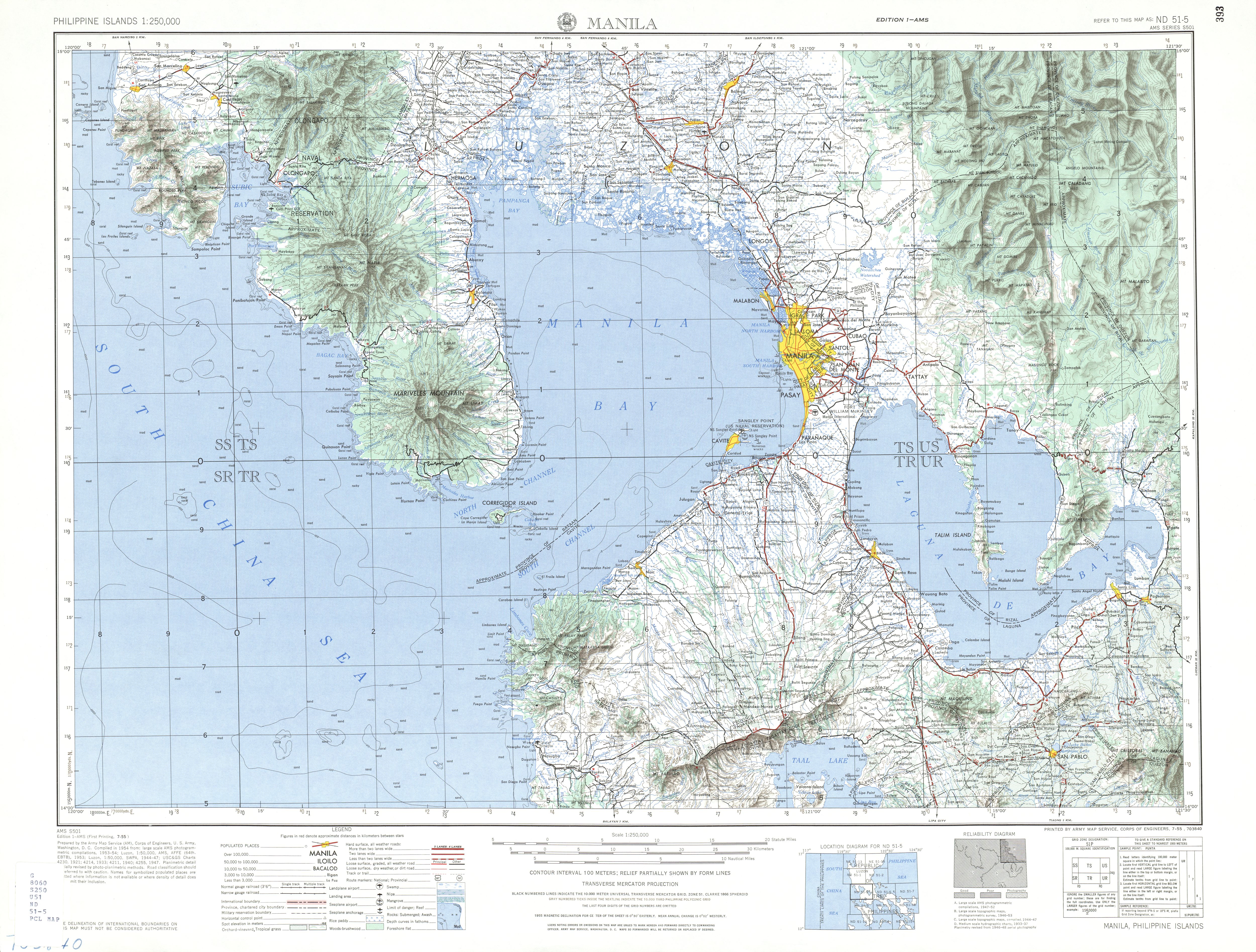
- ^ ND 51-5 Manila (Map). 1:250,000. Washington D.C.: Army Map Service, Corps of Engineers. 1954. Retrieved December 26, 2021.
This article related to a road in Asia is a stub. You can help Wikipedia by expanding it. |
This article about a location in Calabarzon region is a stub. You can help Wikipedia by expanding it. |
This article about transportation in Philippines is a stub. You can help Wikipedia by expanding it. |