You can help expand this article with text translated from the corresponding article in Tagalog. (February 2017) Click [show] for important translation instructions.
|
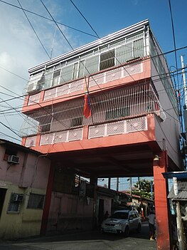
Bambang is one of the 38 barangays of Taguig, Metro Manila in the Philippines. One of the 9 initial Barrio of Taguig.[2][3]
Bambang | |
|---|---|
Barangay Hall of Bambang and Barangay Map Satellite view. | |
 | |
 | |
| Coordinates: 14°31′22.22″N 121°4′8.14″E / 14.5228389°N 121.0689278°E | |
| Country | Philippines |
| Region | National Capital Region |
| City | Taguig |
| District | 1st Legislative district of Taguig |
| Government | |
| • Type | Barangay |
| • Punong Barangay | Christopher Ryan C. Esteban |
| Population (2020) | |
| • Total | 13,949[1] |
| Time zone | UTC+8 (PST) |
| Postal Code | 1637 |
| Area code | 02 |
| Website | https://www.facebook.com/profile.php?id=61553949876134&mibextid=JRoKGi |
Etymology edit
The name of the Barangay derives from the Tagalog word "Bamban", meaning a river with soft soil. Later on, it was changed to "Bambang", which means the shores of the river of Taguig.[4]
Geography edit
Bambang is bounded on the North by Ususan. From the East by Taguig River. Southeast by Wawa. To the South by San Miguel. Then on the West by Katuparan.
References edit
- ^ Total Population by Province, City, Municipality and Barangay: as of May 1, 2010 Archived June 25, 2012, at the Wayback Machine - Philippine Statistics Authority
- ^ Bravo, Felipe (1851). Diccionario geografico, estadistico, historico de las islas Filipinas... (in Spanish). Imprenta de José C. de la Peña.
- ^ Diccionario Geografico Estadistico Historico Islas Filipinas, Manuel Buzeta, Felipe Bravo, Rector Del Colegio De Valladolid, Madrid 1850, page 338
- ^ A gift of faith, 400 years. Quadricentennial (1587-1987) St. Anne Parish Tagig, Metro Manila; commemorative book page 60, circa 1987.


