Aramara is a rural town and locality in the Fraser Coast Region, Queensland, Australia.[2][3] In the 2016 census, the locality of Aramara had a population of 57 people.[1]
| Aramara Queensland | |||||||||||||||
|---|---|---|---|---|---|---|---|---|---|---|---|---|---|---|---|
 Aramara | |||||||||||||||
| Coordinates | 25°36′41″S 152°19′17″E / 25.6113°S 152.3213°E | ||||||||||||||
| Population | 57 (2016 census)[1] | ||||||||||||||
| • Density | 0.738/km2 (1.912/sq mi) | ||||||||||||||
| Postcode(s) | 4620 | ||||||||||||||
| Area | 77.2 km2 (29.8 sq mi) | ||||||||||||||
| Time zone | AEST (UTC+10:00) | ||||||||||||||
| LGA(s) | Fraser Coast Region | ||||||||||||||
| State electorate(s) | Maryborough | ||||||||||||||
| Federal division(s) | Wide Bay | ||||||||||||||
| |||||||||||||||
Geography edit
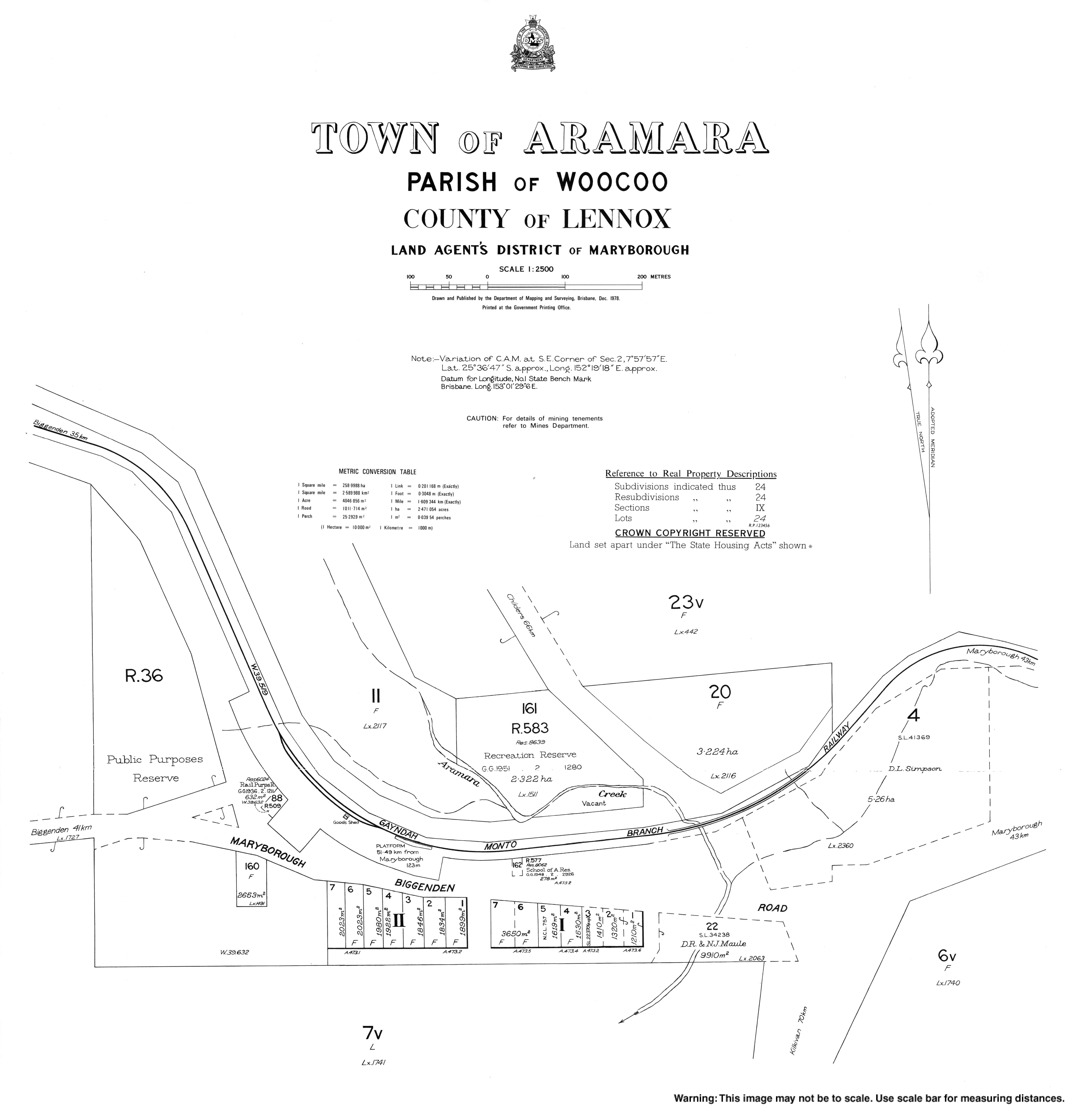
The Maryborough–Biggenden Road (State Route 86) runs through from east to west.[4]
History edit
The town's name is a Kabi language word Ooramara or Yuramurra, meaning many spotted gum trees (Eucalyptus maculata).[2]

The first section of the Mungar Junction to Monto railway line from Mungar Junction to Brooweena was opened on 29 July 1889 and a siding established at Aramara.[5] In 2012 it was announced the line was officially closed.[6]
Aramara Provisional School opened on 23 January 1899. On 1 January 1909, it became Aramara State School. It closed on 19 May 1967.[7]

After fifteen years of fund-raising the Our Lady of the Way Catholic Church was blessed and consecrated by Archbishop James Duhig on 26 February 1950.[8][9] In response to the welcome given, the Archbishop referred to the dairying, cattle raising and timber industries in the district and said that for every tree felled for building purposes, one should be planted.[9] This was consistent with his beliefs that more people should think nationally, rather than locally.[10] The church was built by Malachi Rooney of Maryborough.[9]
In the 2016 census, the locality of Aramara had a population of 57 people.[1]
Heritage listing edit

Fraser Coast Regional Council placed the Our Lady of the Way Catholic Church on its Local Heritage Register.[11]
References edit
- ^ a b c Australian Bureau of Statistics (27 June 2017). "Aramara (SSC)". 2016 Census QuickStats. Retrieved 20 October 2018.
- ^ a b "Aramara – town in Fraser Coast Region (entry 727)". Queensland Place Names. Queensland Government. Retrieved 27 December 2020.
- ^ "Aramara – locality in Fraser Coast Region (entry 46624)". Queensland Place Names. Queensland Government. Retrieved 27 December 2020.
- ^ Google (20 August 2021). "Aramara, Queensland" (Map). Google Maps. Google. Retrieved 20 August 2021.
- ^ "OPENING OF THE MUNGARR LINE". Maryborough Chronicle, Wide Bay and Burnett Advertiser. No. 4, 994. Queensland, Australia. 30 July 1889. p. 3. Retrieved 22 January 2023 – via National Library of Australia.
- ^ Gough, Emma (7 June 2012). "Last train out of Monto gone". The Courier-Mail. Retrieved 26 September 2022.
- ^ Queensland Family History Society (2010), Queensland schools past and present (Version 1.01 ed.), Queensland Family History Society, ISBN 978-1-921171-26-0
- ^ "ARAMARA BROOWEENA". Maryborough Chronicle, Wide Bay and Burnett Advertiser. No. 20, 170. Queensland, Australia. 23 March 1935. p. 5. Retrieved 22 January 2023 – via National Library of Australia.
- ^ a b c "NEW CHURCH EXEMPLIFIED LIVELY FAITH". Maryborough Chronicle. No. 24, 350. Queensland, Australia. 1 March 1950. p. 4. Retrieved 22 January 2023 – via National Library of Australia.
- ^ "ARCHBISHOP DUHIG: A Memoir". The Canberra Times. Vol. 39, no. 11, 128. Australian Capital Territory, Australia. 12 April 1965. p. 2. Retrieved 22 January 2023 – via National Library of Australia.
- ^ "Local Heritage Register v6". Fraser Coast Regional Council. 20 October 2021. Place ID 145. Retrieved 22 January 2023.
Further reading edit
- Gauld, Gail; Dombrow, Alice (2004). Brooweena State School Centenary 1904-2004. Brooweena State School Centenary Committee. ISBN 0646430947. —includes information on other schools: Braemar, Woocoo, Teebar East, Teebar West, Boompa, Idahlia, Dunmora, Musket Flat, Bowling Green, Aramara North, Aramara, and Gungaloon.