Size of this preview: 410 × 599 pixels. Other resolutions: 164 × 240 pixels | 328 × 480 pixels | 526 × 768 pixels | 701 × 1,024 pixels | 1,402 × 2,048 pixels | 3,088 × 4,510 pixels.
Original file (3,088 × 4,510 pixels, file size: 668 KB, MIME type: image/jpeg)
| This is a file from the Wikimedia Commons. Information from its description page there is shown below. Commons is a freely licensed media file repository. You can help. |
Summary
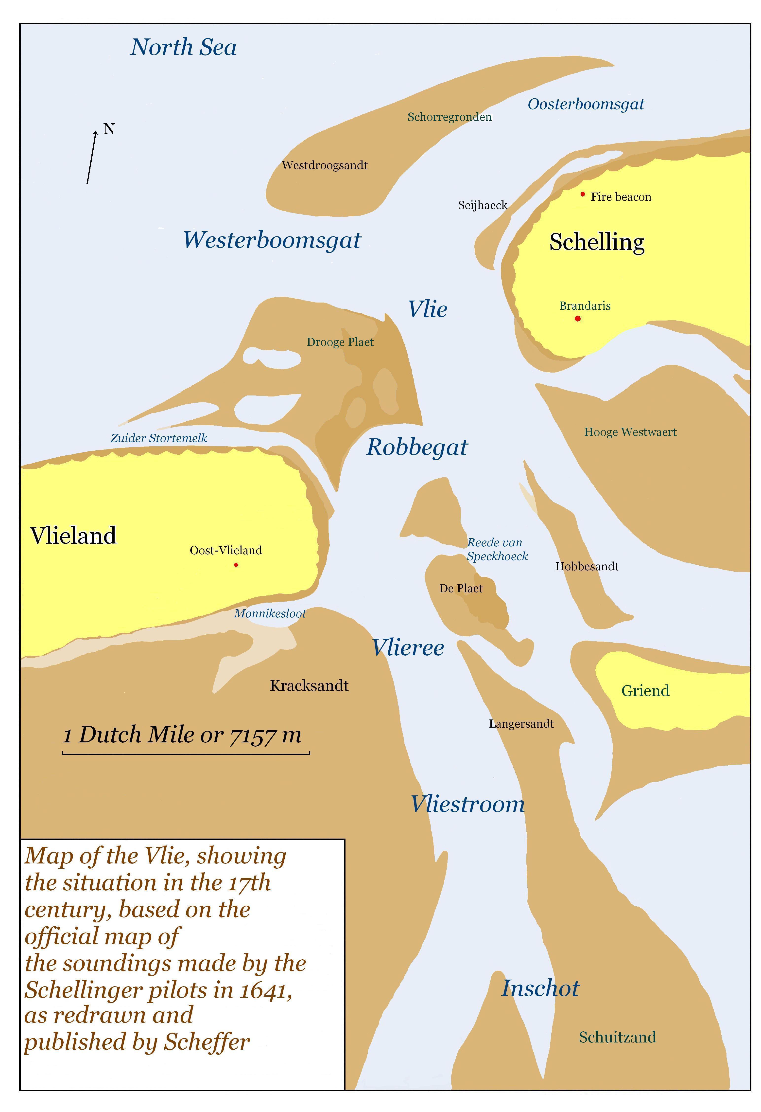
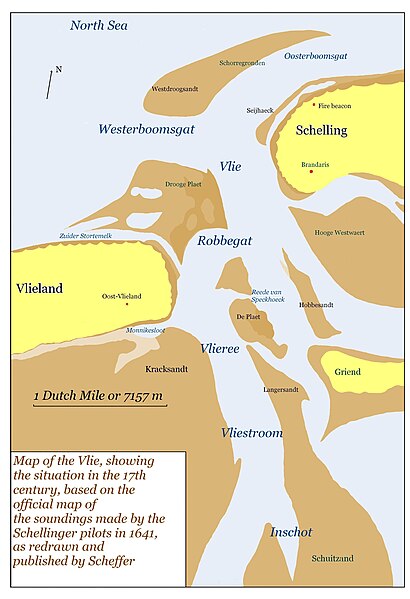
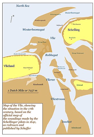
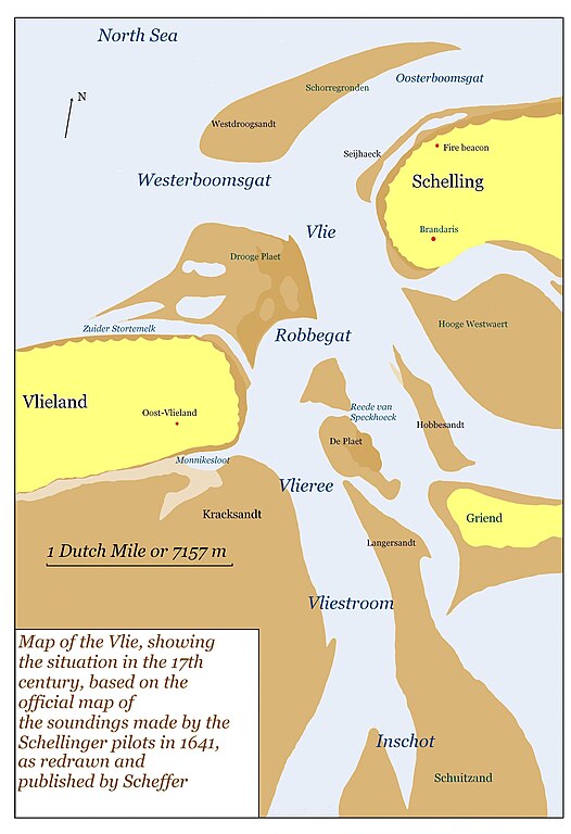
| Description | Map of Vlie area, based on the 1641 map made by the Schellinger pilots |
| Date | |
| Source | Own work |
| Author | MWAK |
Licensing
| I, the copyright holder of this work, release this work into the public domain. This applies worldwide. In some countries this may not be legally possible; if so: I grant anyone the right to use this work for any purpose, without any conditions, unless such conditions are required by law. |
File history
Click on a date/time to view the file as it appeared at that time.
| Date/Time | Thumbnail | Dimensions | User | Comment | |
|---|---|---|---|---|---|
| current | 13:30, 23 November 2007 | | 3,088 × 4,510 (668 KB) | MWAK | {{Information |Description=Map of Vlie area, based on the 1641 map made by the Schellinger pilots |Source=self-made |Date=2007 |Author= MWAK |Permission= |other_versions= }} |
File usage
The following pages on the English Wikipedia use this file (pages on other projects are not listed):
Global file usage
The following other wikis use this file:
- Usage on hu.wikipedia.org
- Usage on ja.wikipedia.org
- Usage on no.wikipedia.org
- Usage on ru.wikipedia.org
- Usage on sh.wikipedia.org