.jpg)
.jpg&action=edit&redlink=1)
No higher resolution available.
View_towards_Dorking_from_the_Nower_(geograph_5120040_by_Ian_Capper,_cropped).jpg (647 × 575 pixels, file size: 246 KB, MIME type: image/jpeg)
| This is a file from the Wikimedia Commons. Information from its description page there is shown below. Commons is a freely licensed media file repository. You can help. |
.jpg)
Summary
| Description |
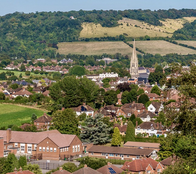
English: TQ1587848830 from TQ 15582 48435 |
| Date | |
| Source |
This file was derived from: Towards Dorking (geograph 5120038).jpg |
| Author | Ian Capper |
| Other versions | This is a cropped version of File:Towards Dorking (geograph 5120038).jpg |
| Attribution (required by the license) | Ian Capper / Towards Dorking / |
.jpg)
| Camera location | | View this and other nearby images on: OpenStreetMap |
|---|
.jpg¶ms=051.223417_N_-000.346239_E_globe:Earth_type:camera_source:geograph-osgb36(TQ1558248435)_heading:45.00&language=en)
| Object location | | View this and other nearby images on: OpenStreetMap |
|---|
.jpg¶ms=051.226910_N_-000.341870_E_globe:Earth_class:object_type:object_source:geograph-osgb36(TQ1587848830)_heading:45.00&language=en)
Licensing
This file is licensed under the Creative Commons Attribution-Share Alike 2.0 Generic license.
Attribution: Ian Capper
- You are free:
- to share – to copy, distribute and transmit the work
- to remix – to adapt the work
- Under the following conditions:
- attribution – You must give appropriate credit, provide a link to the license, and indicate if changes were made. You may do so in any reasonable manner, but not in any way that suggests the licensor endorses you or your use.
- share alike – If you remix, transform, or build upon the material, you must distribute your contributions under the same or compatible license as the original.
File history
Click on a date/time to view the file as it appeared at that time.
| Date/Time | Thumbnail | Dimensions | User | Comment | |
|---|---|---|---|---|---|
| current | 22:55, 28 February 2021 | | 647 × 575 (246 KB) | Mertbiol | sharpen colours |
| 13:08, 27 January 2021 |  | 647 × 575 (612 KB) | Mertbiol | Uploaded a work by Ian Capper from https://www.geograph.org.uk/photo/5120038 with UploadWizard |
File usage
The following pages on the English Wikipedia use this file (pages on other projects are not listed):
Global file usage
The following other wikis use this file:
- Usage on ar.wikipedia.org
- Usage on cy.wikipedia.org
- Usage on en.wikivoyage.org
- Usage on ga.wikipedia.org
- Usage on ia.wikipedia.org
- Usage on lld.wikipedia.org
- Usage on lv.wikipedia.org
- Usage on ro.wikipedia.org
- Usage on sr.wikipedia.org
- Usage on uk.wikipedia.org
- Usage on www.wikidata.org
.jpg)