
Size of this preview: 800 × 525 pixels. Other resolutions: 320 × 210 pixels | 640 × 420 pixels | 1,024 × 673 pixels | 1,280 × 841 pixels | 2,162 × 1,420 pixels.
Original file (2,162 × 1,420 pixels, file size: 1.03 MB, MIME type: image/jpeg)
| This is a file from the Wikimedia Commons. Information from its description page there is shown below. Commons is a freely licensed media file repository. You can help. |
Summary
| Description |
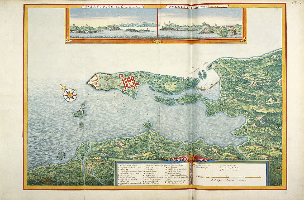
English: Manuscript map of San Juan, Puerto Rico, 17th century
Nederlands: Kaart van Puerto Rico, 17e eeuw |
| Date | 17th century |
| Source | Atlas Blaeu van der Hem |
| Author | Unknown author |
Licensing
|
This work is in the public domain in its country of origin and other countries and areas where the copyright term is the author's life plus 100 years or fewer. | |
| This file has been identified as being free of known restrictions under copyright law, including all related and neighboring rights. | |
File history
Click on a date/time to view the file as it appeared at that time.
| Date/Time | Thumbnail | Dimensions | User | Comment | |
|---|---|---|---|---|---|
| current | 18:00, 13 April 2009 | | 2,162 × 1,420 (1.03 MB) | OldMaps | {{Information |Description={{en|1=Map of Puerto Rico, 17th century}} {{nl|1=Kaart van Puerto Rico, 17e eeuw}} |Source=Atlas Blaeu van der Hem |Author=Unknown |Date=17th century |Permission= |other_versions= }} <!--{{ImageUpload|full}}--> [[Category:Atlas |
File usage
The following pages on the English Wikipedia use this file (pages on other projects are not listed):
Global file usage
The following other wikis use this file:
- Usage on ar.wikipedia.org
- Usage on de.wikipedia.org
- Usage on es.wikipedia.org
- Usage on fr.wikipedia.org
- Usage on ru.wikipedia.org