
Size of this preview: 800 × 344 pixels. Other resolutions: 320 × 138 pixels | 640 × 275 pixels | 1,024 × 441 pixels | 1,280 × 551 pixels | 2,560 × 1,102 pixels | 6,139 × 2,642 pixels.
Original file (6,139 × 2,642 pixels, file size: 10.46 MB, MIME type: image/jpeg)
| This is a file from the Wikimedia Commons. Information from its description page there is shown below. Commons is a freely licensed media file repository. You can help. |
Summary
| Description |
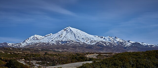
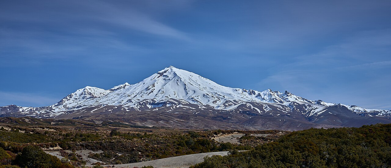
English: Taken on our return walk from the top of the Tama Ridge - in a valley across from the stream that flows past the Waihohonu Hut. |
| Date | |
| Source | https://www.flickr.com/photos/129472387@N07/53246839206/ |
| Author | Geoff McKay |
| Other versions |

.jpg)
.jpg&action=edit&redlink=1)
.jpg)
| Camera location | | View this and other nearby images on: OpenStreetMap |
|---|
.jpg¶ms=-39.205769_N_0175.671784_E_globe:Earth_type:camera__&language=en)
Licensing
This file is licensed under the Creative Commons Attribution 2.0 Generic license.
- You are free:
- to share – to copy, distribute and transmit the work
- to remix – to adapt the work
- Under the following conditions:
- attribution – You must give appropriate credit, provide a link to the license, and indicate if changes were made. You may do so in any reasonable manner, but not in any way that suggests the licensor endorses you or your use.
File history
Click on a date/time to view the file as it appeared at that time.
| Date/Time | Thumbnail | Dimensions | User | Comment | |
|---|---|---|---|---|---|
| current | 09:13, 21 April 2024 | | 6,139 × 2,642 (10.46 MB) | Kiwiz1338 | File:Mount Ruapehu October 9, 2023.jpg cropped < 1 % horizontally, 35 % vertically using CropTool with precise mode. |
File usage
The following pages on the English Wikipedia use this file (pages on other projects are not listed):
.jpg)