
No higher resolution available.
Moheli_(Comoros)_map.jpg (354 × 320 pixels, file size: 19 KB, MIME type: image/jpeg)
| This is a file from the Wikimedia Commons. Information from its description page there is shown below. Commons is a freely licensed media file repository. You can help. |
Summary
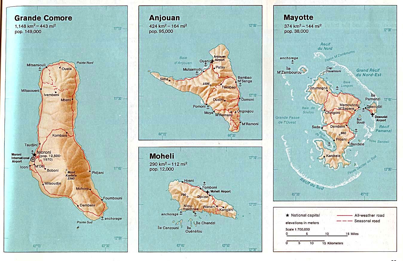
| Description | Moheli. From The Indian Ocean Atlas, CIA, 1976. |
| Date | |
| Source | University of Texas Libraries, Perry-Castañeda Library Map Collection: Comoros Maps (extracted) |
| Author | CIA |
| Other versions |

_map.jpg)
_map.jpg&action=edit&redlink=1)
_map.jpg)
Licensing
| This image is a work of a Central Intelligence Agency employee, taken or made as part of that person's official duties. As a Work of the United States Government, this image or media is in the public domain in the United States.
|

|
Original upload log
All following user names refer to en.wikipedia.
- 2003-08-06 17:36 Pascal 354×320× (19883 bytes) Moheli (Comoros) map
File history
Click on a date/time to view the file as it appeared at that time.
| Date/Time | Thumbnail | Dimensions | User | Comment | |
|---|---|---|---|---|---|
| current | 19:41, 25 April 2009 | | 354 × 320 (19 KB) | File Upload Bot (Magnus Manske) | {{BotMoveToCommons|en.wikipedia|year={{subst:CURRENTYEAR}}|month={{subst:CURRENTMONTHNAME}}|day={{subst:CURRENTDAY}}}} {{Information |Description={{en|Map of Moheli (Comoros)}} |Source=Transferred from [http://en.wikipedia.org en.wikipedia]; transferred |
File usage
The following pages on the English Wikipedia use this file (pages on other projects are not listed):
Global file usage
The following other wikis use this file:
- Usage on be.wikipedia.org
- Usage on ca.wikipedia.org
- Usage on ceb.wikipedia.org
- Usage on de.wikipedia.org
- Usage on eo.wikipedia.org
- Usage on fa.wikipedia.org
- Usage on fi.wikipedia.org
- Usage on frr.wikipedia.org
- Usage on hu.wikipedia.org
- Usage on mg.wikipedia.org
- Usage on ms.wikipedia.org
- Usage on nl.wikipedia.org
- Usage on sv.wikipedia.org
- Usage on tr.wikipedia.org
- Usage on uk.wikipedia.org
- Usage on www.wikidata.org
_map.jpg)