
Size of this PNG preview of this SVG file: 472 × 600 pixels. Other resolutions: 189 × 240 pixels | 378 × 480 pixels | 604 × 768 pixels | 806 × 1,024 pixels | 1,612 × 2,048 pixels | 2,205 × 2,801 pixels.
Original file (SVG file, nominally 2,205 × 2,801 pixels, file size: 1.31 MB)
| This is a file from the Wikimedia Commons. Information from its description page there is shown below. Commons is a freely licensed media file repository. You can help. |
Summary
| Description |
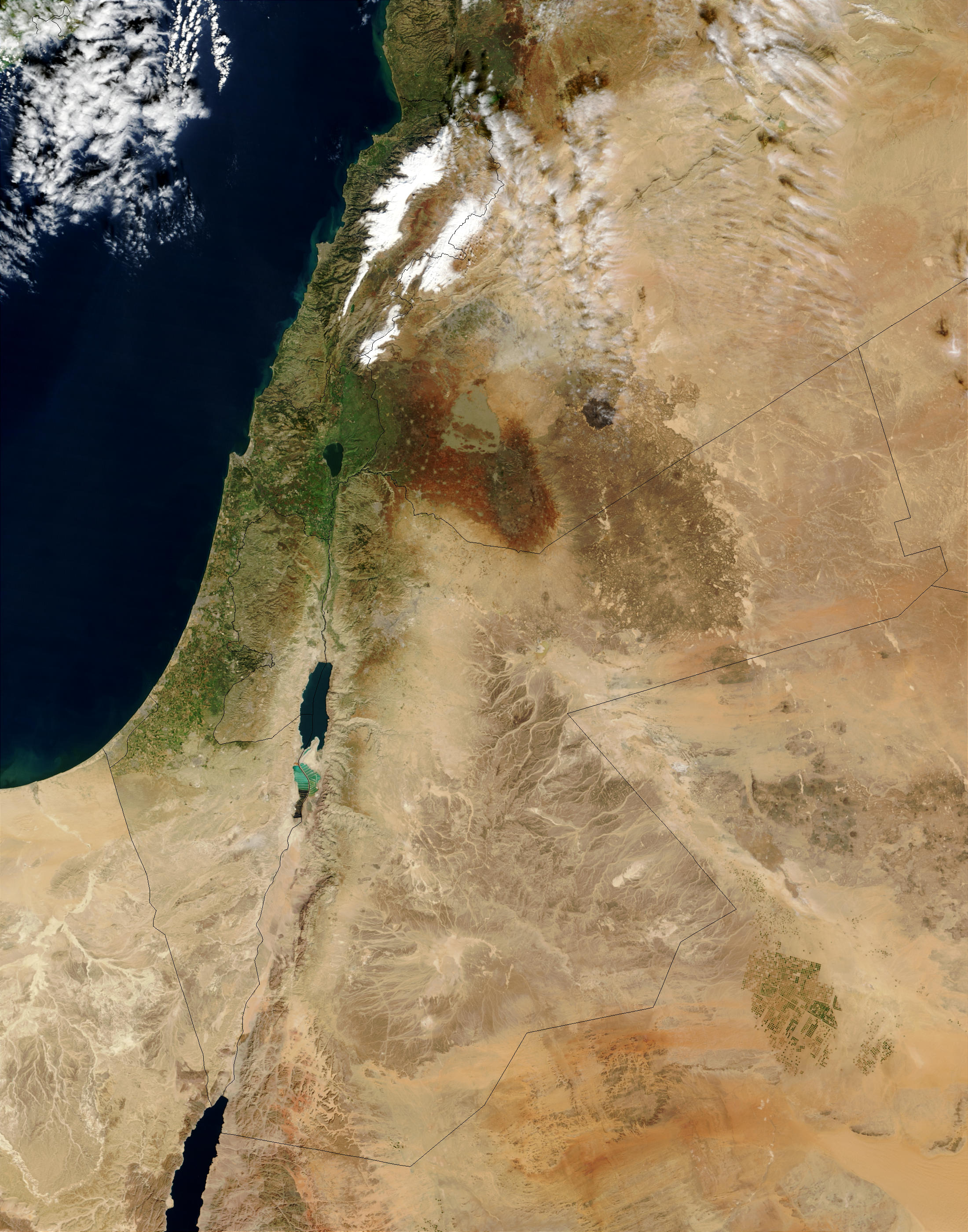
English: Map of the part of the Middle East showing boundaries and topography |
| Date | |
| Source | Own work Based on this NASA MAP and Syria_location_map3.svg |
| Author | Philg88 |
Licensing
I, the copyright holder of this work, hereby publish it under the following licenses:
This file is licensed under the Creative Commons Attribution-Share Alike 3.0 Unported license.
- You are free:
- to share – to copy, distribute and transmit the work
- to remix – to adapt the work
- Under the following conditions:
- attribution – You must give appropriate credit, provide a link to the license, and indicate if changes were made. You may do so in any reasonable manner, but not in any way that suggests the licensor endorses you or your use.
- share alike – If you remix, transform, or build upon the material, you must distribute your contributions under the same or compatible license as the original.

|
Permission is granted to copy, distribute and/or modify this document under the terms of the GNU Free Documentation License, Version 1.2 or any later version published by the Free Software Foundation; with no Invariant Sections, no Front-Cover Texts, and no Back-Cover Texts. A copy of the license is included in the section entitled GNU Free Documentation License. |
You may select the license of your choice.
File history
Click on a date/time to view the file as it appeared at that time.
| Date/Time | Thumbnail | Dimensions | User | Comment | |
|---|---|---|---|---|---|
| current | 12:21, 10 September 2022 | | 2,205 × 2,801 (1.31 MB) | أحمد الناصر | File uploaded using svgtranslate tool (https://svgtranslate.toolforge.org/). Added translation for ar. |
| 12:15, 10 September 2022 |  | 2,205 × 2,801 (1.31 MB) | أحمد الناصر | Reverted to version as of 16:51, 5 February 2014 (UTC) | |
| 12:14, 10 September 2022 |  | 2,205 × 2,801 (1.31 MB) | أحمد الناصر | File uploaded using svgtranslate tool (https://svgtranslate.toolforge.org/). Added translation for en. | |
| 16:51, 5 February 2014 |  | 2,205 × 2,801 (1.31 MB) | Philg88 | Updated following user feedback | |
| 08:10, 5 February 2014 |  | 2,199 × 2,801 (1.3 MB) | Philg88 | Updated following user feedback | |
| 05:04, 5 February 2014 |  | 2,199 × 2,801 (1.3 MB) | Philg88 | Updated following user feedback | |
| 22:40, 3 February 2014 |  | 2,204 × 2,801 (1.3 MB) | Philg88 | {{Information |Description ={{en|1=Map of the part of the Middle East showing boundaries and topography}} |Source ={{own}} Based on [http://eoimages.gsfc.nasa.gov/images/imagerecords/65000/65114/MiddleEast.A2003031.0820.250m.jpg this NASA MA... |
File usage
The following pages on the English Wikipedia use this file (pages on other projects are not listed):
Global file usage
The following other wikis use this file:
- Usage on ar.wikipedia.org
- Usage on az.wikipedia.org
- Usage on bn.wikipedia.org
- Usage on ca.wikipedia.org
- Usage on el.wikipedia.org
- Usage on es.wikipedia.org
- Usage on hy.wikipedia.org
- Usage on id.wikipedia.org
- Usage on it.wikipedia.org
- Usage on nn.wikipedia.org
- Usage on sl.wikipedia.org
- Usage on www.wikidata.org