
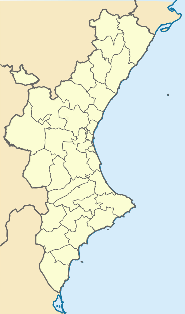
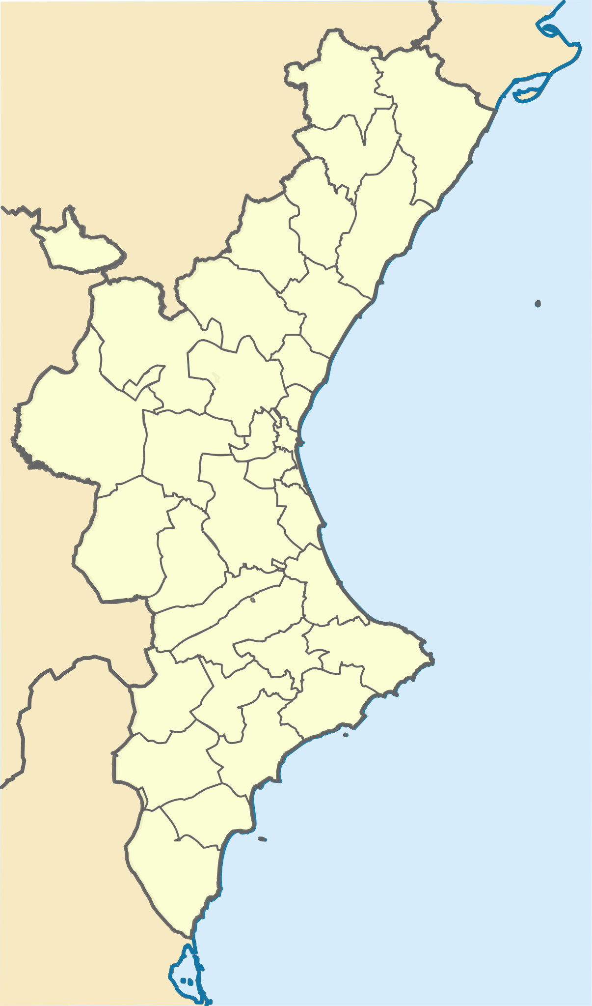
Size of this PNG preview of this SVG file: 353 × 599 pixels. Other resolutions: 141 × 240 pixels | 283 × 480 pixels | 452 × 768 pixels | 603 × 1,024 pixels | 1,206 × 2,048 pixels | 994 × 1,687 pixels.
Original file (SVG file, nominally 994 × 1,687 pixels, file size: 159 KB)
| This is a file from the Wikimedia Commons. Information from its description page there is shown below. Commons is a freely licensed media file repository. You can help. |
Summary
| Description |
Català: Posicionament:
|top=40.88
|bottom=37.62
|left=-1.57
|right=0.905 |
||
| Date | |||
| Source | |||
| Author |
|
||
| SVG development |
|
Licensing
This file is licensed under the Creative Commons Attribution-Share Alike 3.0 Unported license.
- You are free:
- to share – to copy, distribute and transmit the work
- to remix – to adapt the work
- Under the following conditions:
- attribution – You must give appropriate credit, provide a link to the license, and indicate if changes were made. You may do so in any reasonable manner, but not in any way that suggests the licensor endorses you or your use.
- share alike – If you remix, transform, or build upon the material, you must distribute your contributions under the same or compatible license as the original.
Original upload log
This image is a derivative work of the following images:
- Mapa de localització al País Valencià.svg licensed with Cc-by-sa-3.0
- 2010-01-02T20:12:39Z Martorell 256x256 (612762 Bytes) Correcting SVG code.
- 2010-01-02T20:09:31Z Martorell 0x0 (617180 Bytes) {{Information |Description={{en|Blank administrative map of [[:en:France|France]] for geo-location purpose, with regions and departements distinguished.Approximate scale : 1:3,000,000}} {{fr|Carte administrative vierge de la
- Castellon - Mapa municipal.svg licensed with Cc-by-sa-3.0-migrated, GFDL
- 2006-10-01T21:24:22Z Sanbec 420x388 (264984 Bytes) Margins removed
- 2005-10-29T12:56:35Z Tony Rotondas 778x413 (249521 Bytes) '''Title''' :'''es:''' Municipios de Castellón (España). 2003 :'''en:''' Municipalities of Castellón (Spain). 2003 '''Author''' :[http://es.wikipedia.org/wiki/Usuario:Tony_Rotondas Emilio Gómez Fernández] {{GFDL}} [[Ca
- Valencia - Mapa municipal.svg licensed with Cc-by-sa-3.0-migrated, GFDL
- 2005-10-29T13:38:59Z Tony Rotondas 778x413 (473611 Bytes) '''Title''' :'''es:''' Municipios de Valencia (España). 2003 :'''en:''' Municipalities of Valencia (Spain). 2003 '''Author''' :[http://es.wikipedia.org/wiki/Usuario:Tony_Rotondas Emilio Gómez Fernández] {{GFDL}} [[Catego
- Alicante - Mapa municipal.svg licensed with Cc-by-sa-3.0-migrated, GFDL
- 2005-10-29T12:38:55Z Tony Rotondas 778x413 (242866 Bytes) '''Title''' :'''es:''' Municipios de Alicante (España). 2003 :'''en:''' Municipalities of Alicante (Spain). 2003 '''Author''' :[http://es.wikipedia.org/wiki/Usuario:Tony_Rotondas Emilio Gómez Fernández] {{GFDL}} [[Catego
Uploaded with derivativeFX
File history
Click on a date/time to view the file as it appeared at that time.
| Date/Time | Thumbnail | Dimensions | User | Comment | |
|---|---|---|---|---|---|
| current | 07:49, 20 November 2021 | | 994 × 1,687 (159 KB) | Jmarchn | Desrotació del mapa que impedia la geolocalització per coordenades |
| 17:01, 3 January 2010 |  | 71 × 124 (196 KB) | Martorell | Too big file size. | |
| 16:09, 3 January 2010 |  | 709 × 1,240 (3.33 MB) | Martorell | {{Information |Description={{en|Blank administrative map of France for geo-location purpose, with regions and departements distinguished.<br/>Approximate scale : 1:3,000,000}} {{fr|Carte administrative vierge de la France des |
File usage
The following pages on the English Wikipedia use this file (pages on other projects are not listed):
Global file usage
The following other wikis use this file:
- Usage on ca.wikipedia.org
- Setge de Borriana
- Batalla dels Alcalans
- Conquesta d'Ares
- Setge de Morella (1232)
- Setge de Peníscola (1225)
- Setge de Dàniyya
- Batalla d'Oriola (1873)
- Bombardeig d'Alacant (1873)
- Plantilla:Location map País Valencià
- Acció de la Fuensanta
- Batalla d'Alcoi
- Setge de Llucena (1835)
- Setge de Llucena (1837)
- Batalla d'Ulldecona
- Batalla de les Alcubles
- Batalla de Soneixa
- Batalla de Toga
- Batalla de Castelló
- Batalla de Torreblanca
- Batalla de Bunyol
- Batalla de Burjassot
- Setge de Sant Mateu (1837)
- Setge de Benicarló (1837)
- Acció d'Ademús
- Batalla d'Albaida
- Batalles de Castalla (1812 i 1813)
- Batalla de Sagunt
- Batalla de Castalla (1812)
- Setge de València (1812)
- Batalla d'Alacant
- Batalla de València (1808)
- Usage on lfn.wikipedia.org