
Size of this preview: 800 × 600 pixels. Other resolutions: 320 × 240 pixels | 640 × 480 pixels | 1,024 × 768 pixels | 1,280 × 960 pixels | 2,560 × 1,920 pixels | 4,608 × 3,456 pixels.
Original file (4,608 × 3,456 pixels, file size: 2.56 MB, MIME type: image/jpeg)
| This is a file from the Wikimedia Commons. Information from its description page there is shown below. Commons is a freely licensed media file repository. You can help. |
Summary
| Description |
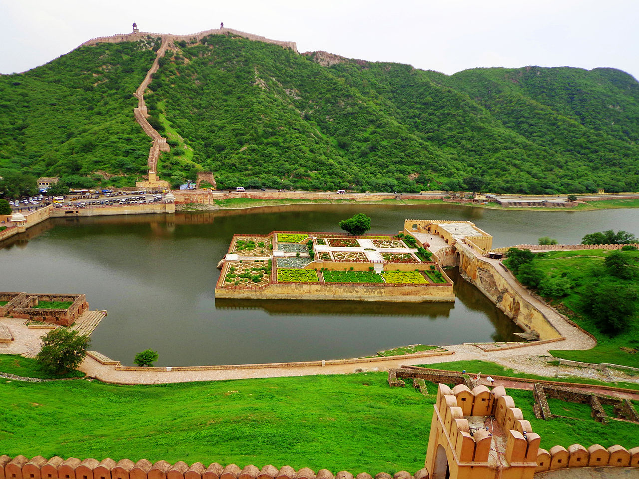
English: This is a beautiful historic Lake near the Amer Fort Palace. |
| Date | |
| Source | https://www.panoramio.com/user/vsvinaykumar |
| Author | vsvinaykumar |
| Camera location | | View this and other nearby images on: OpenStreetMap |
|---|
Licensing

|
The copyright holder of this file allows anyone to use it for any purpose, provided that the copyright holder is properly attributed. Redistribution, derivative work, commercial use, and all other use is permitted. |
|
|
File history
Click on a date/time to view the file as it appeared at that time.
| Date/Time | Thumbnail | Dimensions | User | Comment | |
|---|---|---|---|---|---|
| current | 19:07, 16 December 2013 | | 4,608 × 3,456 (2.56 MB) | Andy king50 | rwm |
| 04:55, 9 August 2013 |  | 4,608 × 3,456 (2.45 MB) | Vsvinaykumar2 | User created page with UploadWizard |
File usage
The following pages on the English Wikipedia use this file (pages on other projects are not listed):
Global file usage
The following other wikis use this file:
- Usage on fr.wikipedia.org
- Usage on gu.wikipedia.org
- Usage on he.wikipedia.org
- Usage on hi.wikipedia.org
- Usage on hy.wikipedia.org
- Usage on it.wikipedia.org
- Usage on kn.wikipedia.org
- Usage on mai.wikipedia.org
- Usage on sa.wikipedia.org
- Usage on sl.wikipedia.org
- Usage on ta.wikipedia.org
- Usage on vi.wikipedia.org