Size of this preview: 800 × 512 pixels. Other resolutions: 320 × 205 pixels | 640 × 410 pixels | 1,024 × 656 pixels | 1,280 × 819 pixels | 1,601 × 1,025 pixels.
Original file (1,601 × 1,025 pixels, file size: 69 KB, MIME type: image/png)
| This is a file from the Wikimedia Commons. Information from its description page there is shown below. Commons is a freely licensed media file repository. You can help. |
| Description |
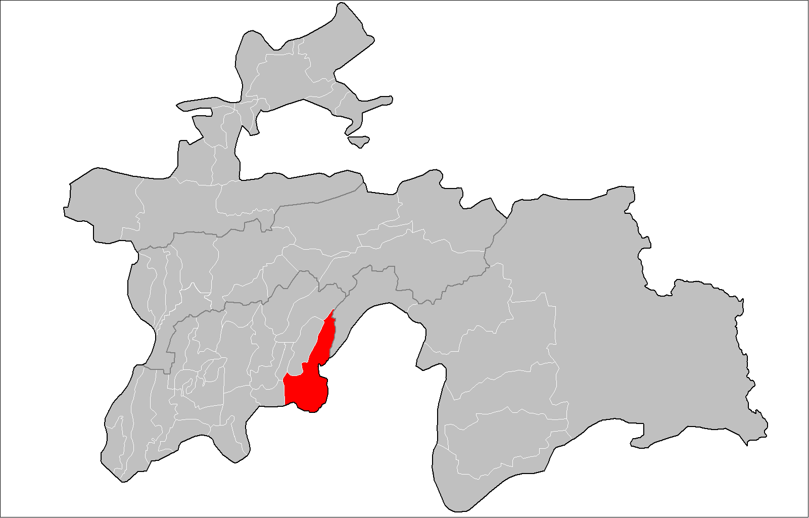
English: Location of Shuroobod District in Tajikistan
Русский: Расположение Шуроабадского района в Таджикистане
Українська: Розташування Шуроабадського району в Таджикистані |
| Date | |
| Source | Tajikistan_districts.png (authors: Rarelibra, Ahonc) |
| Author | Anatoliy Honcharov |
| Permission (Reusing this file) |
Attribution ShareAlike 3.0 |
This file is licensed under the Creative Commons Attribution-Share Alike 3.0 Unported license.
- You are free:
- to share – to copy, distribute and transmit the work
- to remix – to adapt the work
- Under the following conditions:
- attribution – You must give appropriate credit, provide a link to the license, and indicate if changes were made. You may do so in any reasonable manner, but not in any way that suggests the licensor endorses you or your use.
- share alike – If you remix, transform, or build upon the material, you must distribute your contributions under the same or compatible license as the original.
File history
Click on a date/time to view the file as it appeared at that time.
| Date/Time | Thumbnail | Dimensions | User | Comment | |
|---|---|---|---|---|---|
| current | 12:55, 1 February 2017 | | 1,601 × 1,025 (69 KB) | Вальдимар | зміна кордонів |
| 11:56, 13 February 2009 |  | 1,601 × 1,025 (36 KB) | Ahonc | {{Information |Description={{En|Location of Shuroobod District in Tajikistan}} {{Ru|Расположение Шуроабадского района в Таджикистане}} {{Uk|Розташування Шуроабадського району в � |
File usage
The following pages on the English Wikipedia use this file (pages on other projects are not listed):
Global file usage
The following other wikis use this file:
- Usage on ar.wikipedia.org
- Usage on ceb.wikipedia.org
- Usage on ce.wikipedia.org
- Usage on fa.wikipedia.org
- Usage on it.wikipedia.org
- Usage on pnb.wikipedia.org
- Usage on ru.wikipedia.org
- Usage on tg.wikipedia.org
- Ноҳияи Шамсиддин Шоҳин
- Деҳоти Шӯрообод
- Деҳоти Даштиҷум
- Деҳоти Нуриддин Маҳмудов
- Деҳоти Доғистон
- Деҳоти Лангардара
- Деҳоти Саричашма
- Деҳоти Чагам
- Бақодара
- Анҷирухон
- Шаблон:Ноҳияи Шоҳин
- Ваҳдат (деҳа, н. Шоҳин)
- Даштиҷум (деҳа, н. Шоҳин)
- Дилхоҳ
- Кумроғ
- Миёнатук
- Нимдара
- Роҳинав (деҳа, н. Шоҳин)
- Рӯйкаш
- Сангонел
- Сарирег
- Сафедоб (деҳа, н. Шоҳин)
- Ҳасорак
- Ҳасораки Боло
- Ҳоҷидара
- Шаҳристон (деҳа, н. Шоҳин)
- Шоҳинак
- Шоҳон (деҳа, н. Шоҳин)
- Шуҷ
- Дараи Об
- Дараи Эмом
- Доғистон (деҳа, н. Шоҳин)
- Кафтар (деҳа, н. Шоҳин)
- Кӯлоба (деҳа, н. Шоҳин)
- Чордара (деҳа, н. Шоҳин)
- Шайхкамонӣ
- Шаҳрибарбар
- Вағлел
- Валиҷон (деҳа, н. Шоҳин)
- Ғринг
- Давлатобод (деҳа, н. Шоҳин)
- Деҳбаланд (деҳа, н. Шоҳин)
- Деҳифайдион
View more global usage of this file.