.png)
.png&action=edit&redlink=1)
Size of this preview: 800 × 569 pixels. Other resolutions: 320 × 228 pixels | 640 × 455 pixels | 1,024 × 728 pixels | 1,280 × 911 pixels | 2,495 × 1,775 pixels.
Original file (2,495 × 1,775 pixels, file size: 46 KB, MIME type: image/png)
| This is a file from the Wikimedia Commons. Information from its description page there is shown below. Commons is a freely licensed media file repository. You can help. |
.png)
Summary
| Description |
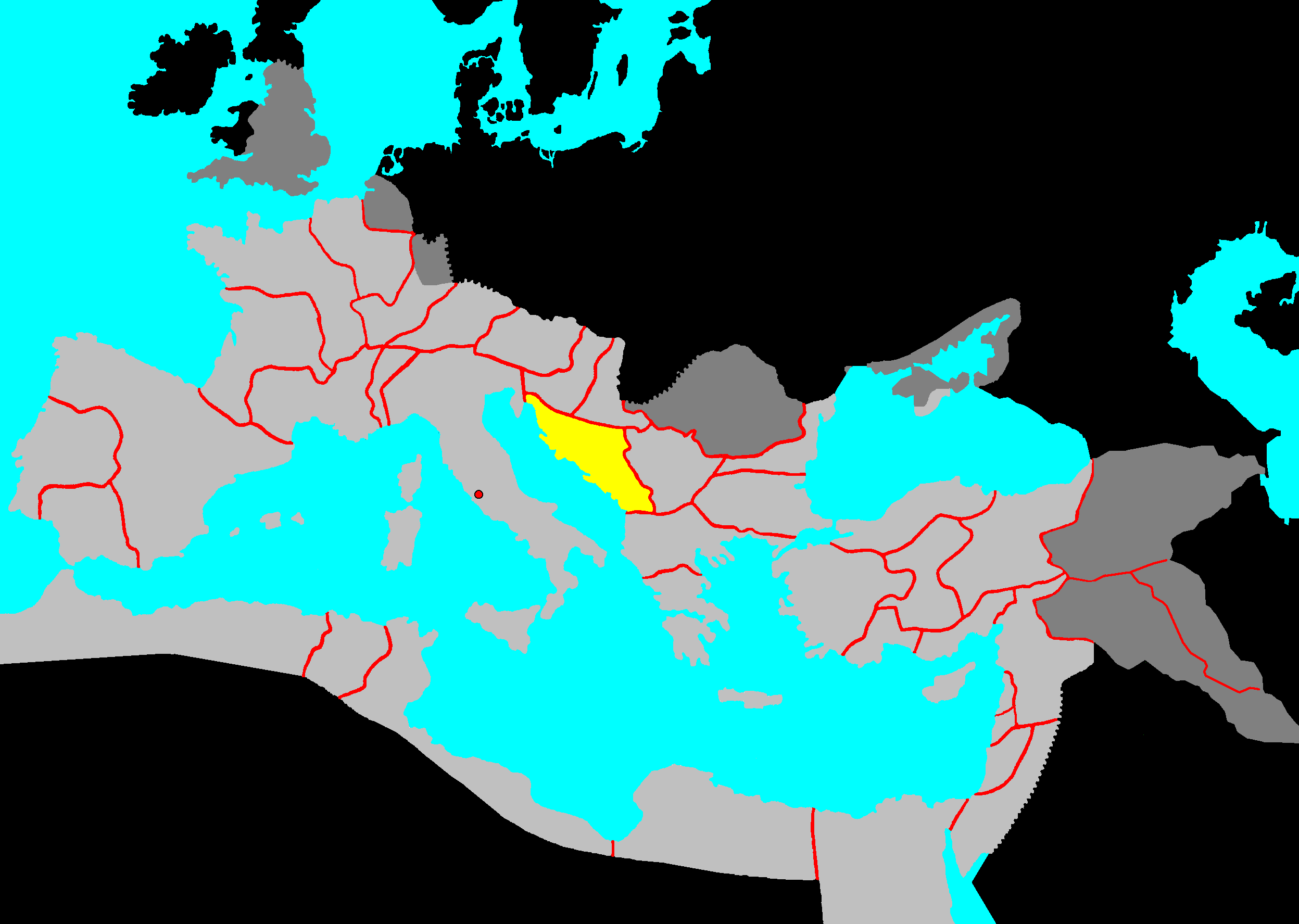
Description: provinces of the Roman Empire (Imperium Romanum) |
| Date | 13 December 2005 (original upload date) |
| Source | No machine-readable source provided. Own work assumed (based on copyright claims). |
| Author | No machine-readable author provided. Immanuel Giel assumed (based on copyright claims). |
Licensing
| I, the copyright holder of this work, release this work into the public domain. This applies worldwide. In some countries this may not be legally possible; if so: I grant anyone the right to use this work for any purpose, without any conditions, unless such conditions are required by law. |
File history
Click on a date/time to view the file as it appeared at that time.
| Date/Time | Thumbnail | Dimensions | User | Comment | |
|---|---|---|---|---|---|
| current | 14:32, 11 October 2018 | | 2,495 × 1,775 (46 KB) | Julieta39 | Short roman occupation: darker grey |
| 12:51, 13 December 2005 |  | 2,495 × 1,775 (53 KB) | Immanuel Giel | '''Description''': provinces of the Roman Empire (Imperium Romanum)<br> '''Source''': own work<br> '''Date''': December 2005 <br> '''Author''': --~~~~ <br> '''Other versions''': none<br> Category:Maps of the Roman Empire als:Römisches Reich [ |
File usage
No pages on the English Wikipedia use this file (pages on other projects are not listed).
Global file usage
The following other wikis use this file:
- Usage on bs.wikipedia.org
- Usage on da.wikipedia.org
- Usage on es.wikipedia.org
- Usage on fr.wikipedia.org
- Usage on gl.wikipedia.org
- Usage on id.wikipedia.org
- Usage on incubator.wikimedia.org
- Usage on is.wikipedia.org
- Usage on it.wikiquote.org
- Usage on ka.wikipedia.org
- Usage on nn.wikipedia.org
- Usage on no.wikipedia.org
- Usage on oc.wikipedia.org
- Usage on ro.wikipedia.org
- Usage on sh.wikipedia.org
- Usage on sl.wikipedia.org
- Usage on sv.wikipedia.org
- Usage on tr.wikipedia.org
- Usage on xmf.wikipedia.org
- Usage on zh.wikipedia.org
.png)