
Size of this preview: 800 × 356 pixels. Other resolutions: 320 × 143 pixels | 640 × 285 pixels | 1,024 × 456 pixels | 1,760 × 784 pixels.
Original file (1,760 × 784 pixels, file size: 505 KB, MIME type: image/jpeg)
| This is a file from the Wikimedia Commons. Information from its description page there is shown below. Commons is a freely licensed media file repository. You can help. |
Summary
| Description |
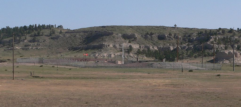
English: ICBM silo in Banner County, Nebraska: located on southern slope of Wildcat Hills, on east side of Wright's Gap Road. |
| Date | |
| Source | Own work |
| Author | Ammodramus |
Licensing
I, the copyright holder of this work, hereby publish it under the following license:
| This file is made available under the Creative Commons CC0 1.0 Universal Public Domain Dedication. | |
| The person who associated a work with this deed has dedicated the work to the public domain by waiving all of their rights to the work worldwide under copyright law, including all related and neighboring rights, to the extent allowed by law. You can copy, modify, distribute and perform the work, even for commercial purposes, all without asking permission.
|
| Object location | | View this and other nearby images on: OpenStreetMap |
|---|
File history
Click on a date/time to view the file as it appeared at that time.
| Date/Time | Thumbnail | Dimensions | User | Comment | |
|---|---|---|---|---|---|
| current | 19:48, 1 June 2012 | | 1,760 × 784 (505 KB) | Ammodramus |
File usage
The following pages on the English Wikipedia use this file (pages on other projects are not listed):