
Size of this preview: 800 × 509 pixels. Other resolutions: 320 × 204 pixels | 640 × 407 pixels | 1,024 × 652 pixels | 1,280 × 815 pixels | 2,560 × 1,629 pixels | 4,752 × 3,024 pixels.
Original file (4,752 × 3,024 pixels, file size: 6.48 MB, MIME type: image/jpeg)
| This is a file from the Wikimedia Commons. Information from its description page there is shown below. Commons is a freely licensed media file repository. You can help. |
Summary
| Description |
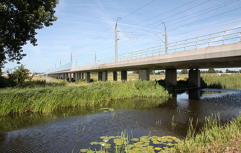
Nederlands: Het tracé van de HSL-Zuid bij Zoetermeer. |
| Date | 6 July 2010, 16:12:35 (according to Exif data) |
| Source | Own work |
| Author | Maurits90 |
| Permission (Reusing this file) |
Vrij te gebruiken |
| Camera location | | View this and other nearby images on: OpenStreetMap |
|---|
Licensing
| I, the copyright holder of this work, release this work into the public domain. This applies worldwide. In some countries this may not be legally possible; if so: I grant anyone the right to use this work for any purpose, without any conditions, unless such conditions are required by law. |
File history
Click on a date/time to view the file as it appeared at that time.
| Date/Time | Thumbnail | Dimensions | User | Comment | |
|---|---|---|---|---|---|
| current | 18:17, 6 July 2010 | | 4,752 × 3,024 (6.48 MB) | Willem 90 | {{Information |Description={{nl|1=Het tracé van de HSL-Zuid bij Zoetermeer.}} |Source={{own}} |Author=Maurits90 |Date=06-07-2010 |Permission=Vrij te gebruiken |other_versions= }} {{location|52|2|44.6|N|4|32|12.54|E|region:NL}} [[Catego |
File usage
The following pages on the English Wikipedia use this file (pages on other projects are not listed):
Global file usage
The following other wikis use this file:
- Usage on fr.wikipedia.org
- Usage on nl.wikipedia.org