Size of this preview: 555 × 600 pixels. Other resolutions: 222 × 240 pixels | 444 × 480 pixels | 711 × 768 pixels | 948 × 1,024 pixels | 1,782 × 1,925 pixels.
Original file (1,782 × 1,925 pixels, file size: 1.57 MB, MIME type: image/jpeg)
| This is a file from the Wikimedia Commons. Information from its description page there is shown below. Commons is a freely licensed media file repository. You can help. |
Summary
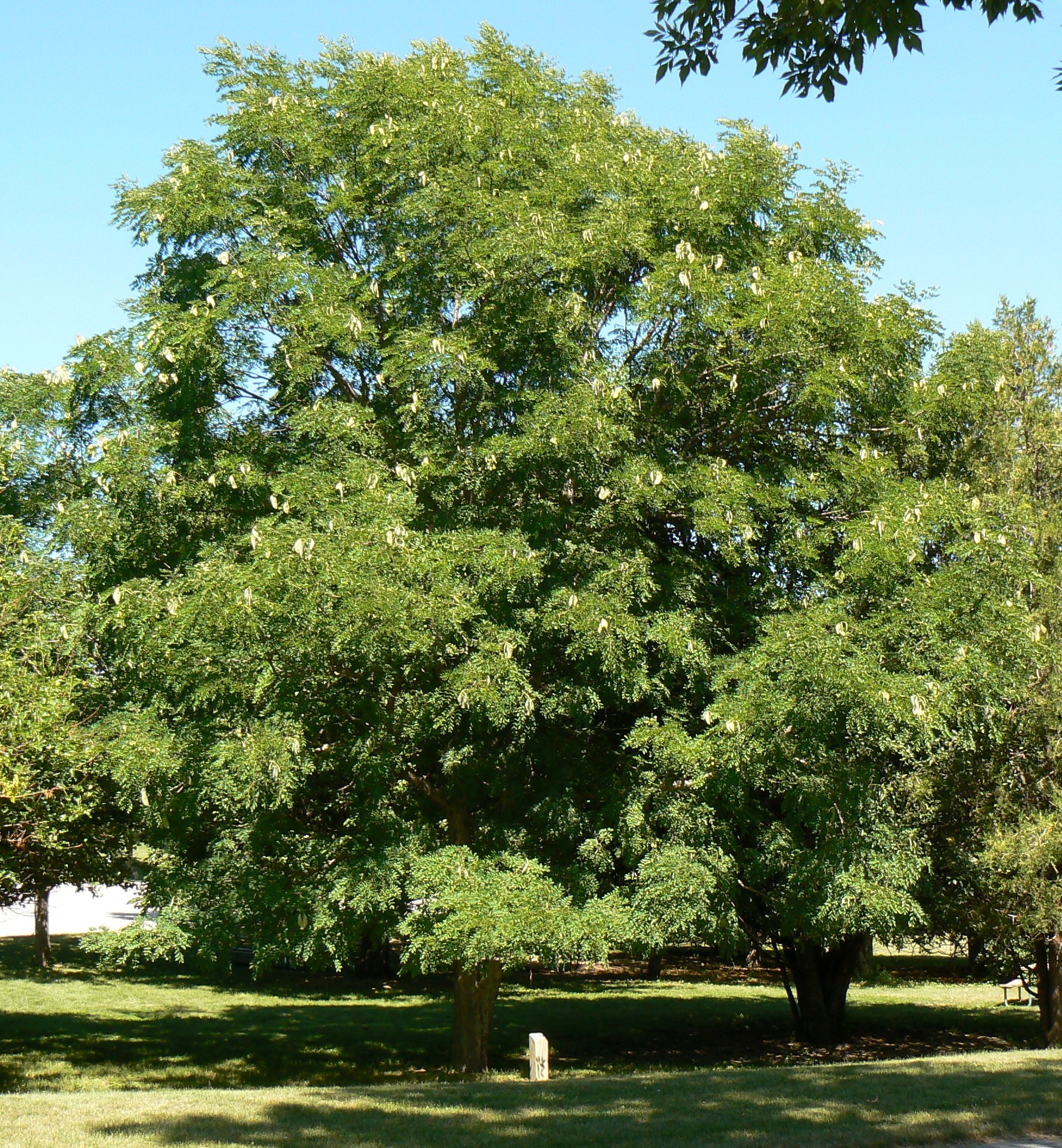
| Description | Kentucky Coffeetree at DeSoto National Wildlife Refuge |
| Date | |
| Source | Own work |
| Author | MONGO |
| Camera location | | View this and other nearby images on: OpenStreetMap |
|---|
Licensing
| This work has been released into the public domain by its author, I, MONGO. This applies worldwide. In some countries this may not be legally possible; if so: I, MONGO grants anyone the right to use this work for any purpose, without any conditions, unless such conditions are required by law. |
File history
Click on a date/time to view the file as it appeared at that time.
| Date/Time | Thumbnail | Dimensions | User | Comment | |
|---|---|---|---|---|---|
| current | 04:40, 26 June 2007 | | 1,782 × 1,925 (1.57 MB) | MONGO | {{Information |Description=Kentucky Coffeetree at DeSoto National Wildlife Refuge |Source=self-made |Date=6.24.2007 |Author= MONGO }} {{Location dec|41.5407|-96.0326|type:forest_region:US_scale:5000_heading:NE}} * '''Location Datum:''' [[:e |
File usage
The following pages on the English Wikipedia use this file (pages on other projects are not listed):
Global file usage
The following other wikis use this file:
- Usage on ar.wikipedia.org
- Usage on arz.wikipedia.org
- Usage on be.wikipedia.org
- Usage on ca.wikipedia.org
- Usage on ceb.wikipedia.org
- Usage on de.wikipedia.org
- Usage on en.wiktionary.org
- Usage on eo.wikipedia.org
- Usage on es.wikipedia.org
- Usage on fr.wikipedia.org
- Usage on hu.wikipedia.org
- Usage on hu.wikibooks.org
- Usage on ru.wikipedia.org
- Usage on sv.wikipedia.org
- Usage on war.wikipedia.org
- Usage on www.wikidata.org
- Usage on zh.wikipedia.org