
Size of this preview: 775 × 600 pixels. Other resolutions: 310 × 240 pixels | 620 × 480 pixels | 993 × 768 pixels | 1,280 × 991 pixels | 2,560 × 1,981 pixels | 2,950 × 2,283 pixels.
Original file (2,950 × 2,283 pixels, file size: 2.63 MB, MIME type: image/png)
| This is a file from the Wikimedia Commons. Information from its description page there is shown below. Commons is a freely licensed media file repository. You can help. |
|
This is an image of a place or building that is listed on the National Register of Historic Places in the United States of America. Its reference number is 78003056. |
Summary
| Description |
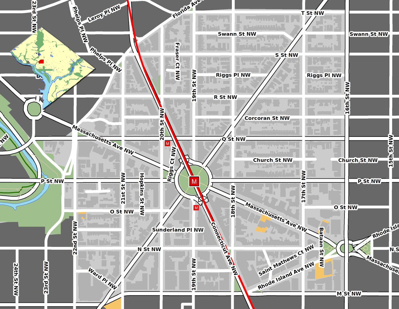
English: Map of the Dupont Circle neighborhood in Washington, D.C.
GIS data comes from Open Street Map and DC GIS (okay to use here [1]) |
| Date | |
| Source | Own work |
| Author | Aude |
| Object location | | View this and other nearby images on: OpenStreetMap |
|---|
Licensing
I, the copyright holder of this work, hereby publish it under the following license:
This file is licensed under the Creative Commons Attribution 3.0 Unported license.
- You are free:
- to share – to copy, distribute and transmit the work
- to remix – to adapt the work
- Under the following conditions:
- attribution – You must give appropriate credit, provide a link to the license, and indicate if changes were made. You may do so in any reasonable manner, but not in any way that suggests the licensor endorses you or your use.
File history
Click on a date/time to view the file as it appeared at that time.
| Date/Time | Thumbnail | Dimensions | User | Comment | |
|---|---|---|---|---|---|
| current | 19:15, 30 January 2009 | | 2,950 × 2,283 (2.63 MB) | Aude | {{Information |Description={{en|1=Map of the Dupont Circle neighborhood in Washington, D.C. GIS data comes from [http://www.openstreetmap.org/ Open Street Map] and [http://dcatlas.dcgis.dc.gov/catalog/ DC GIS] (okay to use here [http://lists.openstreetma |
File usage
No pages on the English Wikipedia use this file (pages on other projects are not listed).
Global file usage
The following other wikis use this file:
- Usage on ca.wikipedia.org
- Usage on de.wikipedia.org
- Usage on es.wikipedia.org
- Usage on pt.wikipedia.org