Size of this preview: 800 × 600 pixels. Other resolutions: 320 × 240 pixels | 640 × 480 pixels | 1,024 × 768 pixels | 1,280 × 960 pixels | 1,600 × 1,200 pixels.
Original file (1,600 × 1,200 pixels, file size: 387 KB, MIME type: image/jpeg)
| This is a file from the Wikimedia Commons. Information from its description page there is shown below. Commons is a freely licensed media file repository. You can help. |
Summary
| Description |
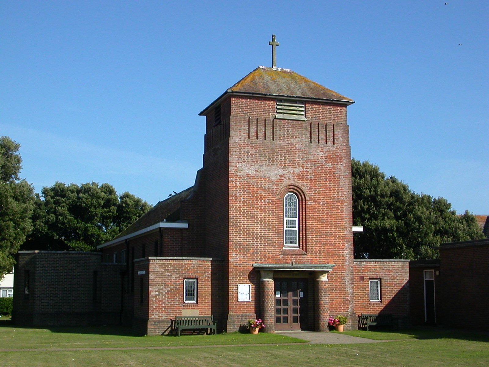
English: Parish church of the Ascension, Arundel Road, Peacehaven, East Sussex, England, seen from the northwest. Designed by L Keir Hett and built in the 1950s to replace Peacehaven's prefabricated Church of England church of 1922. |
| Date | |
| Source | Own work |
| Author | The Voice of Hassocks |
| Camera location | | View this and other nearby images on: OpenStreetMap |
|---|
Licensing
| I, the copyright holder of this work, release this work into the public domain. This applies worldwide. In some countries this may not be legally possible; if so: I grant anyone the right to use this work for any purpose, without any conditions, unless such conditions are required by law. |
File history
Click on a date/time to view the file as it appeared at that time.
| Date/Time | Thumbnail | Dimensions | User | Comment | |
|---|---|---|---|---|---|
| current | 20:21, 19 August 2009 | | 1,600 × 1,200 (387 KB) | Hassocks5489 | == Summary == {{Information |Description=Church of the Ascension, Bramber Avenue, Peacehaven, District of Lewes, East Sussex, England. Built in the 1950s by L. Keir Hett to replace Peacehaven's prefabricated Anglican church of 1922. |Source=Own work by u |
File usage
The following pages on the English Wikipedia use this file (pages on other projects are not listed):
Global file usage
The following other wikis use this file:
- Usage on www.wikidata.org