No higher resolution available.
Census_Bureau_map_of_South_Amboy,_New_Jersey.gif (575 × 425 pixels, file size: 23 KB, MIME type: image/gif)
| This is a file from the Wikimedia Commons. Information from its description page there is shown below. Commons is a freely licensed media file repository. You can help. |
Summary
| Description |
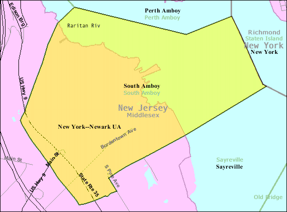
English: Census Bureau map of South Amboy |
| Source | [1] |
| Author | United States Census Bureau |
Licensing
This image or file is a work of a United States Census Bureau employee, taken or made as part of that person's official duties. As a work of the U.S. federal government, the image is in the public domain.
|
 |
Original upload log
Transferred from en.wikipedia to Commons by Quadell using CommonsHelper.
The original description page was here. All following user names refer to en.wikipedia.
- 2011-05-27 20:55 Alansohn 575×425× (23770 bytes) {{Information |Description = Census Bureau map of [[South Amboy, New Jersey]] |Source = [http://factfinder.census.gov/servlet/MapItDrawServlet?geo_id=16000US3468550&_bucket_id=49&tree_id=339&context=saff&_lang=en&_sse=on] |Date = ~
File history
Click on a date/time to view the file as it appeared at that time.
| Date/Time | Thumbnail | Dimensions | User | Comment | |
|---|---|---|---|---|---|
| current | 19:55, 3 July 2013 | | 575 × 425 (23 KB) | File Upload Bot (Magnus Manske) | Transfered from en.wikipedia by User:Quadell using CommonsHelper |
| 19:55, 3 July 2013 |  | 575 × 425 (23 KB) | File Upload Bot (Magnus Manske) | Transfered from en.wikipedia by User:Quadell using CommonsHelper |
File usage
The following pages on the English Wikipedia use this file (pages on other projects are not listed):
Global file usage
The following other wikis use this file:
- Usage on azb.wikipedia.org
- Usage on ja.wikipedia.org
- Usage on sh.wikipedia.org
- Usage on simple.wikipedia.org
- Usage on ur.wikipedia.org