No higher resolution available.
Blackwater_Hamlet_-_geograph.org.uk_-_534800.jpg (640 × 480 pixels, file size: 125 KB, MIME type: image/jpeg)
| This is a file from the Wikimedia Commons. Information from its description page there is shown below. Commons is a freely licensed media file repository. You can help. |
Summary
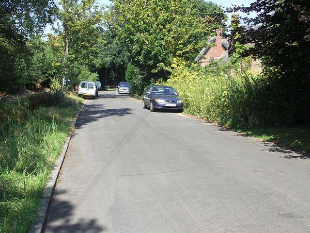
| Description |
English: Blackwater Hamlet This was the main Hurn Road, before the A338 Bournemouth Spur Road was built. Hurn Road now goes over the A338, just to the left of this picture. This hamlet of Blackwater was cut in half, there being more houses on the other side of the A338. There are four homes on this side. |
| Date | |
| Source | From geograph.org.uk |
| Author | Mike Smith |
| Attribution (required by the license) | Mike Smith / Blackwater Hamlet / |
| Camera location | | View this and other nearby images on: OpenStreetMap |
|---|
_heading:315.00&language=en)
| Object location | | View this and other nearby images on: OpenStreetMap |
|---|
_heading:315.00&language=en)
Licensing

|
This image was taken from the Geograph project collection. See this photograph's page on the Geograph website for the photographer's contact details. The copyright on this image is owned by Mike Smith and is licensed for reuse under the Creative Commons Attribution-ShareAlike 2.0 license.
|
This file is licensed under the Creative Commons Attribution-Share Alike 2.0 Generic license.
Attribution: Mike Smith
- You are free:
- to share – to copy, distribute and transmit the work
- to remix – to adapt the work
- Under the following conditions:
- attribution – You must give appropriate credit, provide a link to the license, and indicate if changes were made. You may do so in any reasonable manner, but not in any way that suggests the licensor endorses you or your use.
- share alike – If you remix, transform, or build upon the material, you must distribute your contributions under the same or compatible license as the original.
File history
Click on a date/time to view the file as it appeared at that time.
| Date/Time | Thumbnail | Dimensions | User | Comment | |
|---|---|---|---|---|---|
| current | 19:14, 5 February 2011 | | 640 × 480 (125 KB) | GeographBot | == {{int:filedesc}} == {{Information |description={{en|1=Blackwater Hamlet This was the main Hurn Road, before the A338 Bournemouth Spur Road was built. Hurn Road now goes over the A338, just to the left of this picture. This hamlet of Blackwater was cu |
File usage
The following pages on the English Wikipedia use this file (pages on other projects are not listed):
Global file usage
The following other wikis use this file:
- Usage on cy.wikipedia.org
- Usage on pl.wikipedia.org
- Usage on ur.wikipedia.org
- Usage on www.wikidata.org