
Size of this PNG preview of this SVG file: 536 × 600 pixels. Other resolutions: 214 × 240 pixels | 429 × 480 pixels | 686 × 768 pixels | 915 × 1,024 pixels | 1,830 × 2,048 pixels | 1,131 × 1,266 pixels.
Original file (SVG file, nominally 1,131 × 1,266 pixels, file size: 651 KB)
| This is a file from the Wikimedia Commons. Information from its description page there is shown below. Commons is a freely licensed media file repository. You can help. |
| Description |
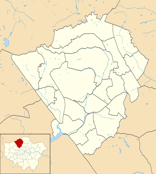
Blank map of the London Borough of Barnet, showing electoral wards. Equirectangular map projection on WGS 84 datum, with N/S stretched 160% Geographic limits:
|
| Date | |
| Source |
|
| Author | Nilfanion |
| Permission (Reusing this file) |
This file is licensed under the Creative Commons Attribution-Share Alike 3.0 Unported license. Attribution: Contains Ordnance Survey data © Crown copyright and database right
|
| Other versions |
Derivative works of this file: |
File history
Click on a date/time to view the file as it appeared at that time.
| Date/Time | Thumbnail | Dimensions | User | Comment | |
|---|---|---|---|---|---|
| current | 21:50, 28 July 2011 | | 1,131 × 1,266 (651 KB) | Nilfanion | {{Information |Description=Blank map of the London Borough of Barnet, showing electoral wards. Equirectangular map projection on WGS 84 datum, with N/S stretched 160% Geographic limits: *West: 0.32W *East: 0.12W *North: 51 |
File usage
The following pages on the English Wikipedia use this file (pages on other projects are not listed):
- Barnet Hospital
- East Barnet Town Hall
- Finchley Memorial Hospital
- Friern Barnet Town Hall
- Friern Hospital
- Hendon Town Hall
- Jewish Military Museum
- List of electoral wards in Greater London
- London Gateway services
- Mitre Inn, Chipping Barnet
- North London Coroner's Court
- Rising Sun, Mill Hill
- Spaniards Inn
- The Red Lion, Chipping Barnet
- Module:Location map/data/United Kingdom London Barnet
- Module:Location map/data/United Kingdom London Barnet/doc
Global file usage
The following other wikis use this file:
- Usage on fa.wikipedia.org
- Usage on fr.wikipedia.org
- Usage on he.wikipedia.org
- Usage on ja.wikipedia.org
- Usage on pl.wikipedia.org
- Underhill Stadium
- Brent Cross
- High Barnet (stacja metra)
- Totteridge and Whetstone
- Woodside Park
- West Finchley
- Finchley Central
- East Finchley (stacja metra)
- Mill Hill East
- Edgware (stacja metra)
- Burnt Oak (stacja metra)
- Colindale (stacja metra)
- Hendon Central
- Brent Cross (stacja metra)
- Golders Green (stacja metra)
- Katedra greckoprawosławna Świętego Krzyża i św. Michała w Londynie
- Moduł:Mapa/dane/Barnet
- Moduł:Mapa/dane/GB-BNE
- Cerkiew św. Cyryla Turowskiego i Wszystkich Patronów Narodu Białoruskiego w Londynie
- Usage on pl.wikibooks.org
- Usage on si.wikipedia.org