Size of this preview: 800 × 533 pixels. Other resolutions: 320 × 213 pixels | 640 × 427 pixels | 1,024 × 683 pixels | 1,280 × 853 pixels | 1,536 × 1,024 pixels.
Original file (1,536 × 1,024 pixels, file size: 841 KB, MIME type: image/jpeg)
| This is a file from the Wikimedia Commons. Information from its description page there is shown below. Commons is a freely licensed media file repository. You can help. |
|
This work is in the public domain in its country of origin and other countries and areas where the copyright term is the author's life plus 100 years or fewer. This work is in the public domain in the United States because it was published (or registered with the U.S. Copyright Office) before January 1, 1929. | |
| This file has been identified as being free of known restrictions under copyright law, including all related and neighboring rights. | |
File history
Click on a date/time to view the file as it appeared at that time.
| Date/Time | Thumbnail | Dimensions | User | Comment | |
|---|---|---|---|---|---|
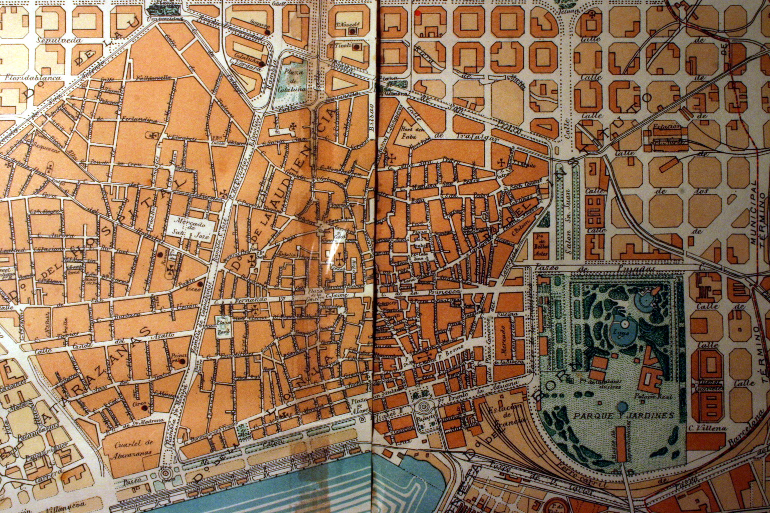
| current | 05:57, 15 March 2008 | | 1,536 × 1,024 (841 KB) | Amadalvarez | {{Information |Description=Plànol del Ciutat Vella (Barcelona). 1860 |Source=Barcelona original map, 1860. |Date=2006 |Author= Amadalvarez |Permission=see below |other_versions= }} Category:Maps of Barcelona |
File usage
The following pages on the English Wikipedia use this file (pages on other projects are not listed):
Global file usage
The following other wikis use this file:
- Usage on ca.wikipedia.org
- Usage on es.wikipedia.org
- Usage on fr.wikipedia.org
- Usage on he.wikipedia.org
- Usage on pl.wikipedia.org
- Usage on zh.wikipedia.org