Size of this preview: 427 × 600 pixels. Other resolutions: 171 × 240 pixels | 492 × 691 pixels.
Original file (492 × 691 pixels, file size: 107 KB, MIME type: image/png)
| This is a file from the Wikimedia Commons. Information from its description page there is shown below. Commons is a freely licensed media file repository. You can help. |
Summary
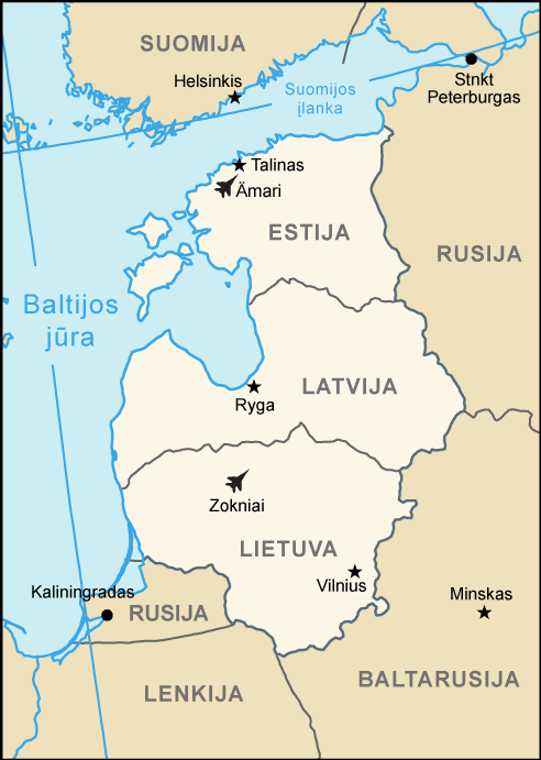
| Description | Baltic Air Policing map (Lithuanian version) | |||
| Date | ||||
| Source | Europe.svg | |||
| Author | arz | |||
| Permission (Reusing this file) |
|
|||
| Other versions |
.png) |

.png)
.png&action=edit&redlink=1)
.png)
File history
Click on a date/time to view the file as it appeared at that time.
| Date/Time | Thumbnail | Dimensions | User | Comment | |
|---|---|---|---|---|---|
| current | 15:21, 16 March 2016 | | 492 × 691 (107 KB) | Arz | Additional air base Amari (Estonia) |
| 09:40, 28 May 2007 |  | 492 × 691 (92 KB) | Arz | == Summary == {{Information |Description=Baltic Air Policing map (Lithuanian version) |Source=Europe.svg |Date=May 28th 2007 |Author=arz |Permission={{PD-USGov-CIA-WF}} |other_versions=None }} Category:Maps of European regions |
File usage
The following pages on the English Wikipedia use this file (pages on other projects are not listed):
Global file usage
The following other wikis use this file:
- Usage on de.wikipedia.org
- Usage on es.wikipedia.org
- Usage on fi.wikipedia.org
- Usage on fr.wikipedia.org
- Usage on lt.wikipedia.org
- Usage on nl.wikipedia.org
- Usage on ro.wikipedia.org
- Usage on ru.wikipedia.org
- Usage on sv.wikipedia.org
- Usage on uk.wikipedia.org
.png)