
Size of this PNG preview of this SVG file: 740 × 599 pixels. Other resolutions: 296 × 240 pixels | 593 × 480 pixels | 948 × 768 pixels | 1,264 × 1,024 pixels | 2,528 × 2,048 pixels | 758 × 614 pixels.
Original file (SVG file, nominally 758 × 614 pixels, file size: 231 KB)
| This is a file from the Wikimedia Commons. Information from its description page there is shown below. Commons is a freely licensed media file repository. You can help. |
Summary
| Description |
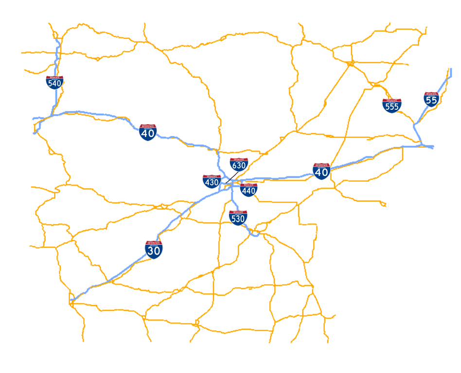
English: Map of Arkansas Interstates. Created using Inkscape and Quantum GIS. |
| Date | |
| Source | Own work |
| Author | Brandonrush |
| SVG development |
Licensing
| I, the copyright holder of this work, release this work into the public domain. This applies worldwide. In some countries this may not be legally possible; if so: I grant anyone the right to use this work for any purpose, without any conditions, unless such conditions are required by law. |
File history
Click on a date/time to view the file as it appeared at that time.
| Date/Time | Thumbnail | Dimensions | User | Comment | |
|---|---|---|---|---|---|
| current | 18:50, 18 April 2009 | | 758 × 614 (231 KB) | Brandonrush | == Summary == {{Information |Description={{en|1=Map of Arkansas Interstates. Created using Inkscape and Quantum GIS.}} |Source=Own work by uploader |Author=Brandonrush |Date=2009-04-18 |Permission= |other_versions= }} <!--{{ImageUplo |
File usage
No pages on the English Wikipedia use this file (pages on other projects are not listed).