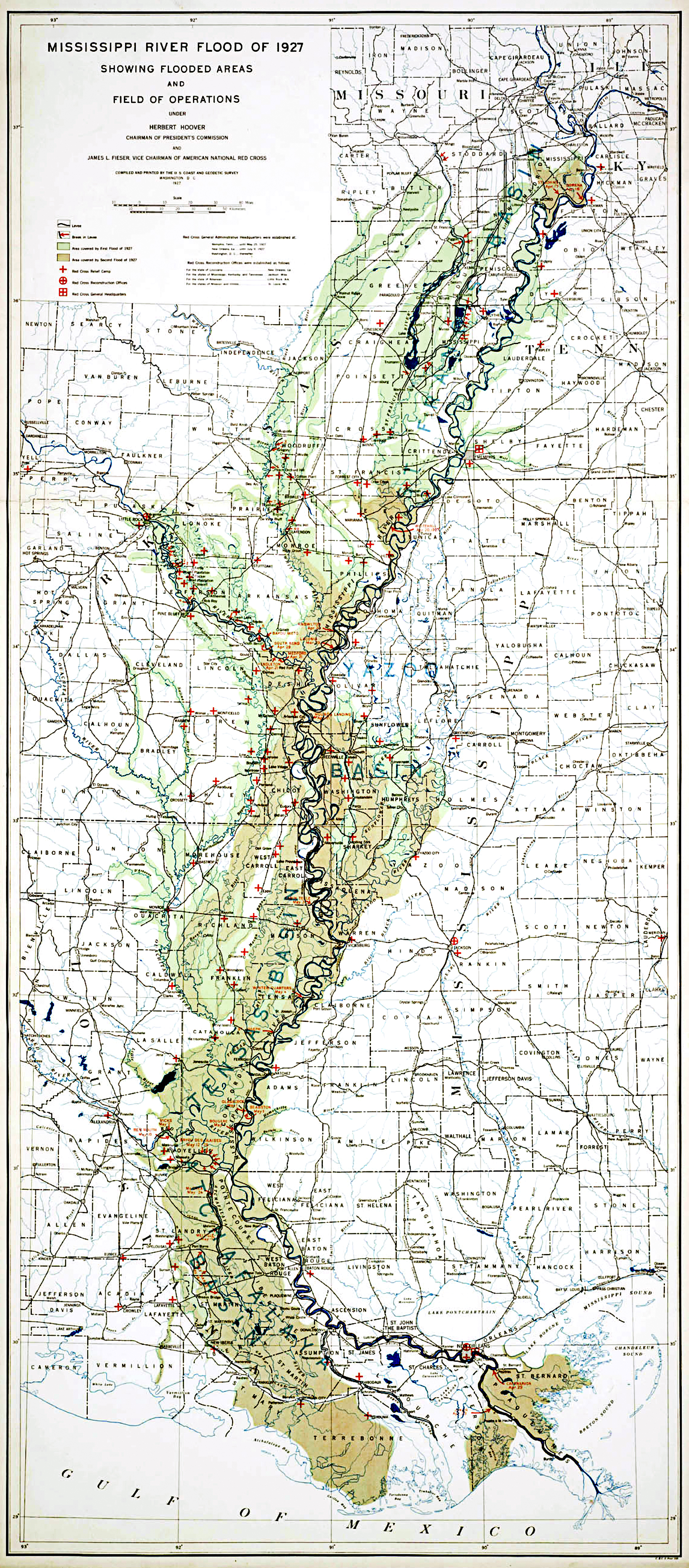
Size of this preview: 263 × 598 pixels. Other resolutions: 105 × 240 pixels | 211 × 480 pixels | 337 × 768 pixels | 450 × 1,024 pixels | 2,292 × 5,214 pixels.
Original file (2,292 × 5,214 pixels, file size: 9.56 MB, MIME type: image/jpeg)
| This is a file from the Wikimedia Commons. Information from its description page there is shown below. Commons is a freely licensed media file repository. You can help. |
Summary
| Description | MIssissippi River Flood of 1927 Showing Flooded Areas and Field of Operations |
| Date | |
| Source |
Records of the Coast and Geodetic Survey, RG 23 https://www.archives.gov/ |
| Author | Coast and Geodetic Survey |
Licensing
This image is in the public domain because it contains materials that originally came from the U.S. National Oceanic and Atmospheric Administration, taken or made as part of an employee's official duties.
|
File history
Click on a date/time to view the file as it appeared at that time.
| Date/Time | Thumbnail | Dimensions | User | Comment | |
|---|---|---|---|---|---|
| current | 15:11, 19 March 2016 | | 2,292 × 5,214 (9.56 MB) | Themadchopper | larger etc. |
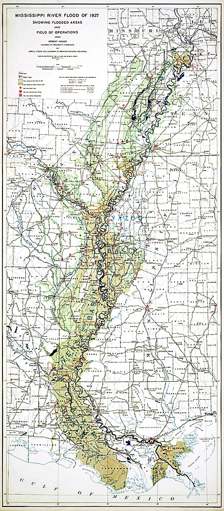
| 18:59, 5 May 2008 |  | 1,200 × 2,650 (663 KB) | Kkmurray | {{Information |Description=MIssissippi River Flood of 1927 Showing Flooded Areas and Field of Operations |Source=Records of the Coast and Geodetic Survey, RG 23 http://www.archives.gov/global-pages/larger-image.html?i=/publications/prologue/2007/spring/i |
File usage
The following pages on the English Wikipedia use this file (pages on other projects are not listed):
Global file usage
The following other wikis use this file:
- Usage on de.wikipedia.org
- Usage on eo.wikipedia.org
- Usage on es.wikipedia.org
- Usage on fa.wikipedia.org
- Usage on it.wikipedia.org
- Usage on ja.wikipedia.org
- Usage on ko.wikipedia.org
- Usage on sv.wikipedia.org